
Source: pixabay
The geospatial analytics market is experiencing significant and steady growth. Analysts at research firm, MarketsandMarkets project the market to reach $67.4 billion in 2022. This is expected to increase to $119.9 billion by 2027 at a CAGR of 12.2%.
Cloud-based geospatial technologies will dominate the market. These cloud solutions such as geographic information system (GIS) SaaS provide greater flexibility to end users. They also offer subscription pricing, which makes them more affordable and scalable for companies.
Globally, the Asia-Pacific region is showing the fastest adoption of geospatial technologies. Countries like China, India, and South Korea are leading the development of 5G connections and IoT infrastructures. With 5G, cloud providers can significantly improve the delivery of cloud-based services. This means faster and clearer communication between IoT sensors and the control centers that run the devices and their related software. As a result, GIS and geospatial analytics—services that run on the cloud—will also improve.
Key Market Drivers
Advancements in geospatial technologies, the rise of smart cities, and SME adoption are the key factors contributing to the growth of the geospatial analytics market.
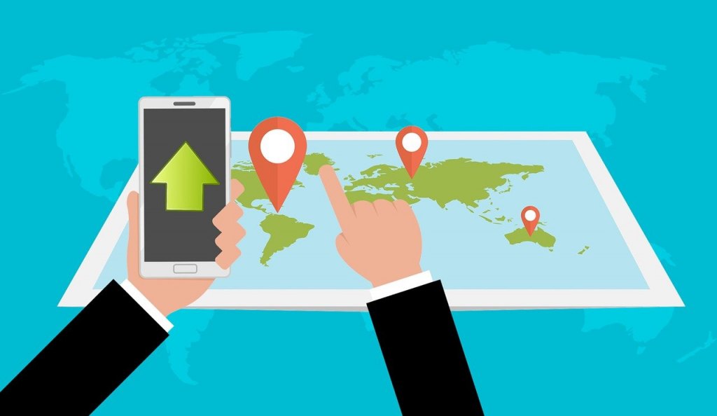
Geospatial technologies refer to GIS, remote sensing, GPS, and internet mapping, among others. These tools have gone a long way since people produced the very first maps. Internet mapping such as Google Earth, for instance, makes geospatial data viewing accessible to everyone. In the past, only specialists and those willing to spend time learning complex software were able to access traditional GIS and mapping tools.
Meanwhile, the rise of smart cities is also increasing the demand for smart infrastructure and well-planned urban communities. To deliver this need, engineers, city planners, developers, and governments are leveraging geospatial data and analytics.
Due to increased accessibility and affordability, more SMEs are using geospatial technologies in their operations. The applications will vary depending on the needs of the business but common reasons revolve around getting insights that affect their enterprise.
How Geospatial Analytics Impact Daily Life
Geospatial analytics is powered by geographic information systems and was commonly used in life sciences. They were initially implemented in geology, ecology, and epidemiology. But today, a wide range of businesses from across industries can benefit from GIS and geospatial analytics.
For example, governments use geospatial data and analytics to monitor weather conditions and natural disasters. With this data, they can identify vulnerable populations, carry out disaster management activities, and give better advice or warnings to citizens.
Businesses in banking, finance, and insurance also use geospatial data to assess credit risk scores. Lenders can reduce bad loan placements, while insurers can better advise policyholders about potential issues. On the other hand, restaurants can use geospatial data to track their deliveries and shipment of food items from suppliers.
Moreover, energy companies or those providing utilities can use geospatial data to predict power interruptions. They can also use analytics to optimize the maintenance and scheduling of their crew.
Governments and private organizations also used geospatial data for COVID-19 mapping. Analytics is used to construct models, maps, and live stream videos for disseminating information and updates about the pandemic.
All these are only a few real-world applications of geospatial analytics. With other emerging technologies like machine learning and artificial intelligence, we can expect the technology to become even more sophisticated within the report’s five-year forecast period.


Leave a comment!